We use Google Maps mainly to navigate, but you can do much more with it. For example, it is also very easy to measure the distance between two places. How to do that, we tell you.
Google Maps is an ideal app for when you have nothing to do. You can easily discover the best restaurants and bars nearby, view your future vacation destination via Street View or walk through an amusement park in 3D. Yet you can do much more with it, such as measuring distances.
Measuring is knowing in Google Maps
You can of course use Google Maps to see how far it is to drive to a certain place, but what the distance is as the crow flies is sometimes more difficult to determine. Fortunately, you can, and we’ll tell you exactly how to do it.
It doesn’t matter if you have an iPhone or Android, in both cases this option works exactly the same and so you can take the same steps. Below we explain it step by step.
Open Google Maps
Find a place on the map and hold it down. This may not be a place name
Then press the red pin and click on ‘measure distance’
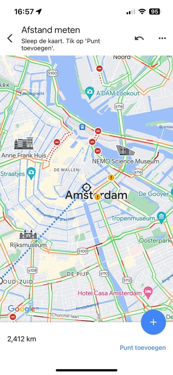
You can now measure the other location whose distance from the first point you want to measure
Even more options
This is how you measure the distance between two places. You can do with multiple points. Useful if, for example, you want to quickly measure a route for a walk or run. To do this, just press “add point” in the menu. You can add as many points as you want.
 Handy. (Image: Google/OMT)
You can also easily delete a step if you no longer want to see it. To do so, press the three dots on the right at the top. Then just press “delete.


