It’s the ideal excuse to end a phone call: “I’m driving into a tunnel right now.” It’s just too bad when it actually happens and affects your navigation. Fortunately, Google Maps puts an end to this on your Android smartphone.
When you drive through a tunnel, sometimes you lose contact with transmission towers or satellites, so you have no Internet or GPS connection. In fact, on an iPhone, for example, SOS emergency call then comes up as an option. Google Maps does guide you through the tunnel, but not with exact precision.
That’s about to change, at least if you have an Android phone. Google Maps uses a special technique that you can turn on from now on, SmartDroid reports.
Google Maps navigates you through a tunnel
Google Maps uses a feature of its little brother Waze for this purpose. That navigation system, also owned by Alphabet, has installed special Bluetooth beacons in tunnels in several cities.
The Bluetooth on your Android phone can connect to these beacons, providing a precise location. This allows a navigation app such as Google Maps to see exactly where you are and thus direct you in the right direction.
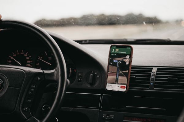 Coming soon to the tunnel. (Image: Isaac Mehegan / Unsplash)
This technique is not new; it is already used in some large shopping malls, for example, to direct you there to the store you are looking for.
Still only on Android
To take advantage of Google Maps’ new feature, you do need to adjust your phone’s settings. To do so, you need to dive a little deeper into the app. To do so, go to Settings > Navigation settings. There you should now see Bluetooth tunnel beacons. Check this feature and you’ll have better navigation underground.
By the way, in Navigation Settings you can also turn on or off other features that help you navigate, such as displaying speed limits or Live View when you’re on foot.
Do you have an iPhone instead of an Android? Then you’ll have to wait for now. It is still unknown when the Google Maps features will come to iOS.


